


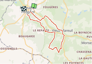
Gr36 vieux Mareuil

taguette
User

Length
15.2 km

Max alt
193 m

Uphill gradient
209 m
Km-Effort
18 km

Min alt
116 m

Downhill gradient
217 m
Boucle
No
Creation date :
2025-06-10 07:32:03.469
Updated on :
2025-06-10 10:37:34.779
3h05
Difficulty : Difficult

FREE GPS app for hiking
 SityTrail
IGN / Geographical institutes
SityTrail Plus
The world is yours!
About
Trail Walking of 15.2 km to be discovered at New Aquitaine, Dordogne, Mareuil en Périgord. This trail is proposed by taguette.
Positioning
Country:
France
Region :
New Aquitaine
Department/Province :
Dordogne
Municipality :
Mareuil en Périgord
Location:
Mareuil
Start:(Dec)
Start:(UTM)
301110 ; 5036070 (31T) N.
Comments